While it’s true that space exploration orbits make interesting discoveries that help us understand our universe, it doesn’t end there. These orbit satellites also aid in discovering ancient archeological sites on our planet. Have space archeologists made any impressive findings? How do they even trace these discoveries? This article will answer these questions and more.
How space archeology works
Do you find it hard to wrap your head around the relationship between space exploration and archeology? Just think of space archeology as a way of getting an aerial shot; it involves using satellites to take pictures of the Earth.

Courtesy: Freepik
Long-buried sites that can’t be seen with the naked eye can be revealed with earth-observing satellites. Since these satellites take pictures in different parts of the light spectrum, they help archeologists discover many ruins.
The lost city of Iram/Ubar
A grand city in the deserts of Oman was the center of frankincense trade about five thousand years ago. The ancient city was mentioned in “The Thousand and One Nights (The Arabian Nights).” However, no trace of the city could be found.

Courtesy: NASA
Some historians doubt whether it existed at all. However, a 1984 Challenger space mission made it possible to scan the Oman desert from space. Pictures of ancient caravan routes proved that the city was destroyed due to a large sinkhole.
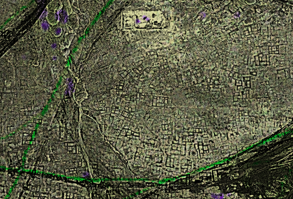
The Mayan civilization
Some of Central America’s most important Maya ruins are in the forested Petén region of northern Guatemala. Using remote sensing to scan the Petén jungle, archeologists have collaborated with NASA to identify lost sites of the Mayan civilization.
Courtesy: Earth.com
The culture of Maya collapsed at the turn of the 10th century, after reaching its height of influence from the 7th to 9th centuries. Images taken from SERVIR, an agency satellite program, showed that Maya collapsed due to drought and extreme temperature increase.
The lost city of Tanis
The lost city of Tanis became popular when it was featured in “Raiders of the Lost Ark.” At ground level, the houses and streets of the city are totally invisible. However, with infrared satellite images, a space archeologist, Sarah Parcak, discovered the large extent of the ancient settlement.

Courtesy: ShareAmerica
Furthermore, this archeologist has discovered the location of 1000 lost tombs across Egypt, 3100 settlements, and about 17 potential pyramids with the use of remote sensing. By analyzing pictures taken from 400 miles overhead, Parcak discovered archeological sites.
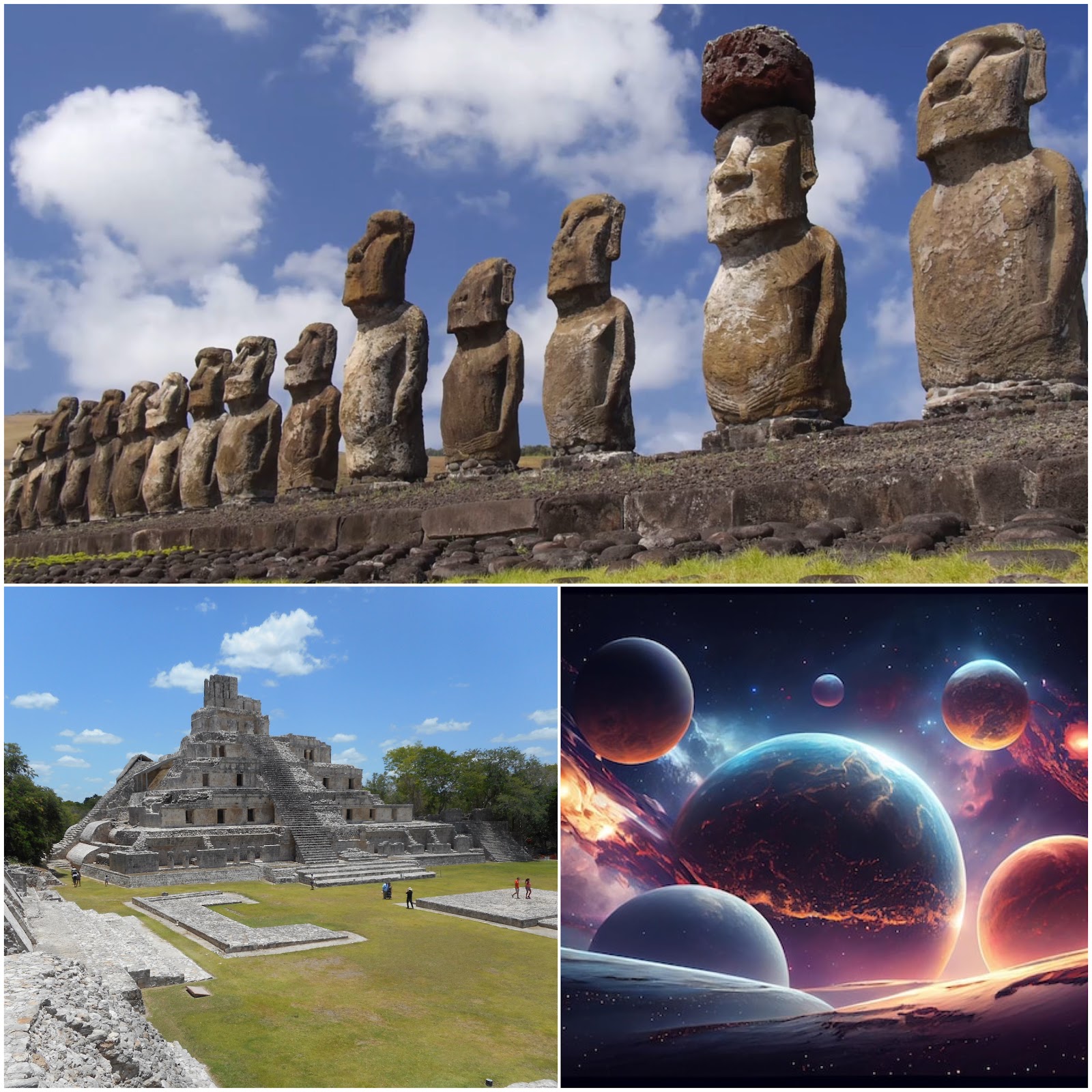
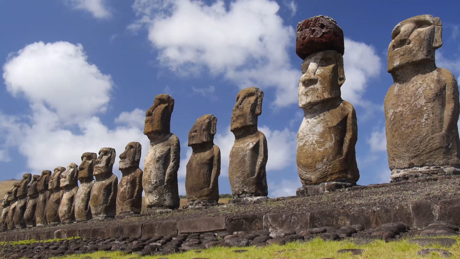
The movement of the Easter Island Moai
Right from when a Dutch explorer mentioned them in 1722, the iconic statues on Easter Island have interested archeologists. Nobody could fathom how the Rapa Nui transported the large monoliths from the quarries they were made to the island without using cranes or large animals.
Courtesy: DailyArt Magazine
Using satellite imagery, the ancient path of the stones from the quarry to different places was traced- and seven major roads were identified. Following this discovery, space archeologists concluded that the Moai were tilted and turned to motion with ropes.